Chesapeake Beach Weeks
Quests for Sandy Toes that Were So Much More
|
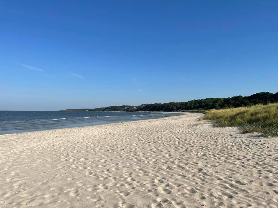
Beach #114 Sailwinds Park, 200 Byrn Street, Cambridge, MD 21613 Goodnight from Beach #114 at Sailwinds Park, Cambridge, MD. This is a sweet little beach, and the perfect place to sit a spell, but no swimming is permitted. Cambridge and Dorchester County are wonderful places to visit, full of history and nature. Be sure to stop by my favorite national (and state) park, the Harriet Tubman Underground Railroad National Historical Park and Blackwater National Wildlife Refuge.
After three days, my typically five-day beach trek will have a weather delay with Tropical Storm Ophelia messing with so many weekend plans. I'll have a bit of a "get back to work" delay as well, and head back out for the last two days on October 9 & 10. Thanks for beaching with me and stay safe out there!
0 Comments
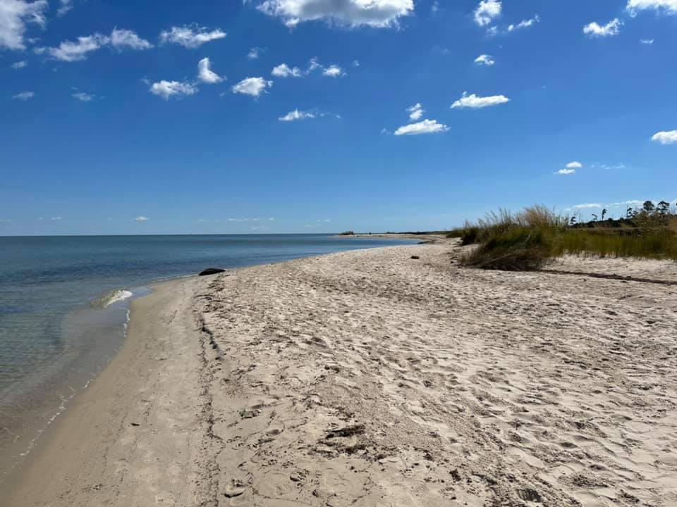
Beach #113 Gerry Boyle Park, Somerset Avenue, Cambridge, MD 21613 Beach #113 This small Choptank River beach is at Gerry Boyle Park in Cambridge, Maryland. At 71 miles long, the Choptank is the largest River on Delmarva.
This is the ancestral homeland of the Algonquian-speaking Choptank (or Ababco) people. The state of Maryland sold out their reservation land in 1822, in part to pay for the state's share of the District of Columbia. This park is named after Gerry Boyle, a Cambridge resident who died in 2019. He was responsible for bringing the Ironman Maryland to Cambridge in 2014, drawing participants from 50 countries. Something tells me he'd love seeing all of these kite-boarders taking advantage of Tropical Storm Ophelia's outer bands! Beach #112 Saxis Island, Matthews Road, Saxis, VA 23427 Beach 112 Hello from the town of Saxis on the Pocomoke Sound. We're in Accomack County, Virginia, standing on the ancestral homeland of the Pocomoke Indian Nation. Captain John Smith explored this area during his 1608 voyage. Europeans had settled here by 1666.
By the late 1860s, a commercial seafood industry was thriving. Watermen shipped their oysters to customers on the Pennsylvania Railroad from nearby Crisfield, Maryland, and later through steamships that also brought recreational visitors. The beach at Saxis is known by beach aficionados for its beautiful sea glass. This peninsula, which locals call "almost an island," is now home to the 6,177-acre Saxis Wildlife Management Area where the Virginia Department of Game and Inland Fisheries are stewards of the land. The population of Saxis has declined, down to 169 residents in 2021 from 367 in 1990. Saxis was walloped during Hurricane Sandy and is grappling with the effects of sea level rise. Listen to this interview by my friend Pamela D'Angelo, reporting for Virginia's Public Radio: www.wvtf.org/news/2019-11-08/saxis-looks-for-solutions-to-rising-seas Beach #111 Hallowing Point Boat Ramp, 6904 Hallowing Lane, Prince Frederick, MD 20678 Beach #111 Found another one! Goodnight and happy sunset from Hallowing Point Boating Facility on the Patuxent River!
Beach #108 Douglas Point Special Recreation Management Area, 9699 Riverside Road, Nanjemoy, MD 20662 Beach #108 Excited to be back at Douglas Point Recreation Area for the second time this week! Chesapeake Conservancy, where I work, partners with the stewards of this land, the Bureau of Land Management - Eastern States.
At Douglas Point, there are over 800 acres of forest along the Potomac River shoreline along Blue Banks and Wades Bay. Today, I took the Blue Banks trail to the beach which is another popular site for fossil hunters. It's an easy hike, quite a bit longer than Purse. There is one other car here today, but I'm the only one on the beach. There are chimney ruins of a homesite owned by Reverend William J. Chile which was built in 1798 by Francis Shepard. This is the ancestral homeland of the Piscataway people and the Nanjemoy Indian Tribe. Learn more from Dr. Gabrielle Tayac, citizen of the Piscataway Indian Nation and activist Indigenous scholar. bit.ly/3EOhY2m Additional information about Douglas Point is available from the experts at William & Mary, including an interview with Cal Posey, a passionate ecologist from this area. www.wm.edu/sites/wmcar/research/chiles/douglas-point. Beach #107 Purse Area in Nanjemoy Wildlife Management Area, 10200 Riverside Road, Nanjemoy, MD 20662 Squeals! Beach 107, Purse, on the Potomac River's Wade Bay, is a bucket list beach for me! Purse was a Maryland state park but is now part of the Nanjemoy Wildlife Management Area. I've visited the Nanjemoy area many times for work but have never made it to Purse which is popular among shark's tooth and fossil hunters.
Thank you to Dr. Purse who deeded his 100 acres of land to Maryland under the condition that it never be developed! The only other people on the beach today is a sweet couple on a picnic and shark tooth hunting date. They do not speak English, and despite studying Spanish for 12 years, I do not speak Spanish worth anything. But, we spoke the universal language of fossil hunting and were glad to share our finds with each other. I found three sharks' teeth in the one spot that I took the time to really look. Highly recommend a visit here! The parking lot is across the street. Take the (unmarked) Sharks Tooth Beach Trail, an overall easy hike with a steep, but short, decline to the beach. Beach #110 Benedict Community Park, MD-231, Benedict, MD 20612 Last stop for today! Beach #110 is Benedict Community Park on the Patuxent River. This little gem, a popular fishing spot, is adjacent to Rt 231 Patuxent River Bridge on the south side. Benedict is a small, unincorporated town with a rich history including that of the Indigenous people who have lived along the Patuxent River since at least 1100 BC, colonial times, the War of 1812 and the Civil War. The residents are grappling with preserving that history while pursuing economic development. According to the 2020 census, there are 232 residents.
By the way, a little birdie told me that two friends of mine played a major role in creating several of the parks I've visited this week including Chapman State Park (Maryland) and the Jesuit properties, including Newtowne Neck State Park, which I visited in 2020. John Griffin and Kristin Saunders worked together at Maryland Department of Natural Resources where John served as secretary. We work together now at Chesapeake Conservancy, and he is an incredible mentor to me. So, thank you, John & Kristin, on behalf of all the people I met today for helping to create these public places! Yet another reminder, parks don't make themselves! It takes grit, long hours, passion and hard work! Beach #109 Maxwell Hall Park, 6680 Maxwell Drive, Hughesville, MD 20637 Hello from Beach #109 on the Patuxent River at Maxwell Hall, a 692-acre Charles County park with a colonial house dating back to 1768. Charles County acquired the land in 2007 with Maryland Program Open Space funding from the Swann family who considered themselves stewards of the property and dreamed of it becoming a place for the public to visit.
From the Friends of the Maxwell House website, "A local tale of interest is the role that Maxwell Hall played when the British landed at Benedict and seized the town for 24 hours. It is said that one of the British officers requisitioned the first floor of the house for his headquarters requiring that the family living here make-do with the rooms on the second floor. His occupation was mercifully brief but perhaps saved the house from “torching” which was the fate of many other nearby homes and structures. "Over the years, buttons, cufflinks and belt buckles have been found on the property that is believed to have belonged to British troops." A long walk along working crop fields led me to this beautiful Patuxent River beach. Can't help but think of the extreme labor it took to farm all this land, especially that of the enslaved people held by the Maxwell family for nearly a century. The only other person I've seen zoomed by me on a horse. Bring your horse and your water-loving dog for a dip in the Patuxent! Beach #106 Chapman State Park, 3452 Ferry Place, Indian Head, MD 20640 Beach #106 Hello from Maryland's Chapman State Park where you will find a narrow but long beach at the end of a beautiful meadow trail on the grounds of the Mt. Aventine Mansion once belonging to the Chapman family. The Chapmans were associates of George Washington and George Mason.
In 1998, Program Open Space funding created this state park along the Potomac River and Mattawoman Creek in western Charles County, providing outdoor recreation opportunities like hiking, fishing and hunting, as well as interpretation and education about the history of the people who once lived on this land, although there is little history known about the enslaved which was poorly documented. In the 1950s, Mt. Aventine was owned by a Hungarian Countess! The only other people here with me on this beautiful Thursday afternoon are two spotted lantern fly surveyors from the state. Beach #104 Chancellors Point Natural History Area, 18171 Rosecroft Road, St. Mary's City, MD 20686 Beach #104 is very welcoming! Chancellors Point Natural History Area in St. Mary's County has it all! Hiking, paddling, camping and sailing for starters! Thank you to Ruth Valentine Chase who chose to sell her land for conservation in 1970, leading to 66 acres of public land. Indigenous people thrived here long before Robert Wiseman arrived on the Ark in 1634. Be sure to check this place out! www.hsmcdigshistory.org/venues/chancellors-point/
|
Jody Hedeman CouserPersonal: |
 RSS Feed
